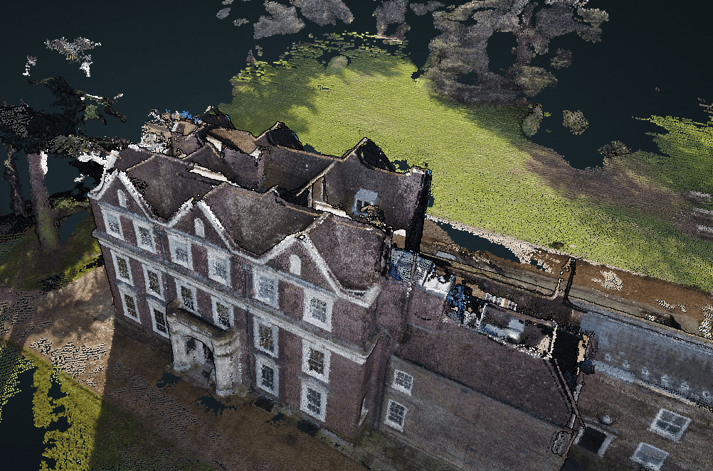
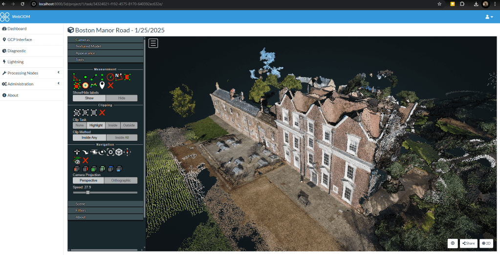
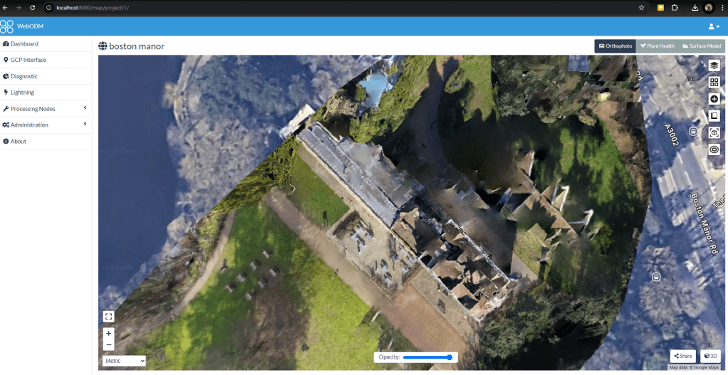
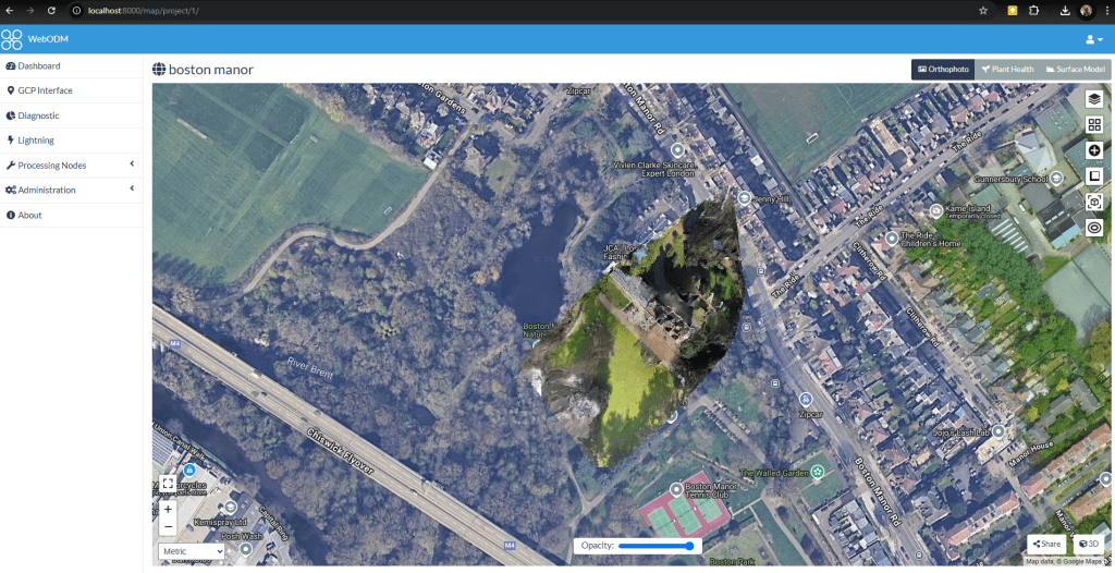
As a learning exercise, I used a DJI Mavic Mini to survey Boston Manor, then processed the resultant images into an orthographic map and rendered Pointcloud using WebODM via Docker and WSL2.


As a learning exercise, I used a DJI Mavic Mini to survey Boston Manor, then processed the resultant images into an orthographic map and rendered Pointcloud using WebODM via Docker and WSL2.

You must be logged in to post a comment.