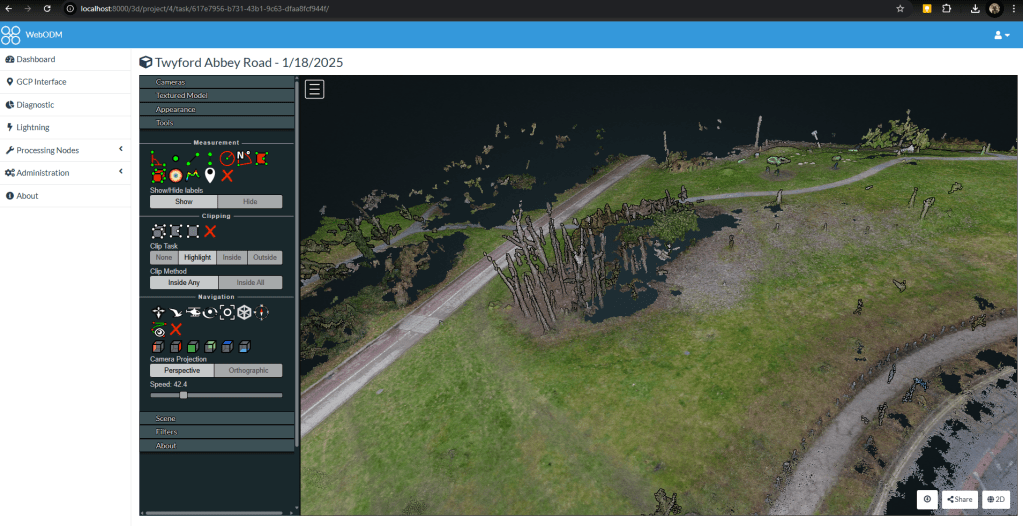
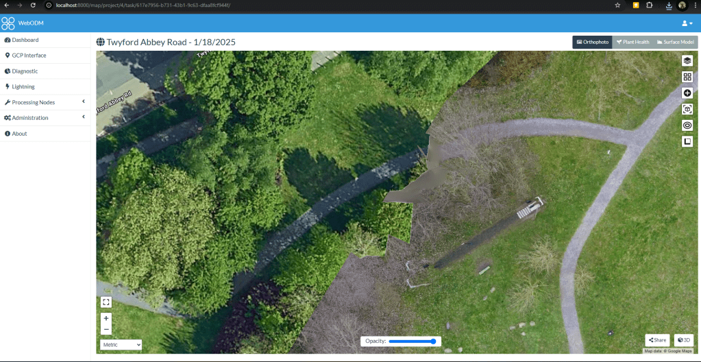
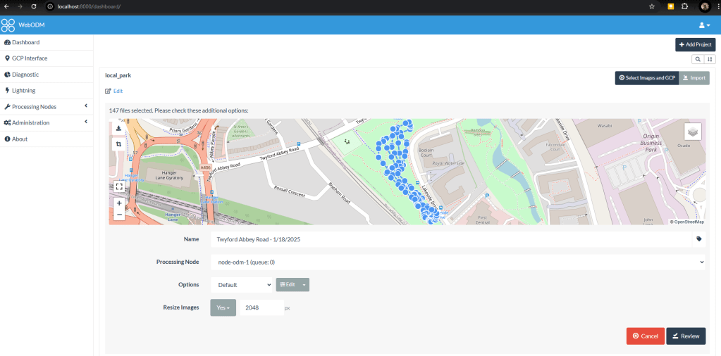
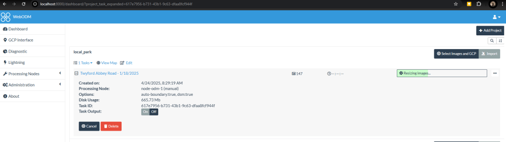
As a learning exercise, I used a DJI Mavic Mini to survey my local park, then processed the resultant images into an orthographic map using WebODM via Docker and WSL2.


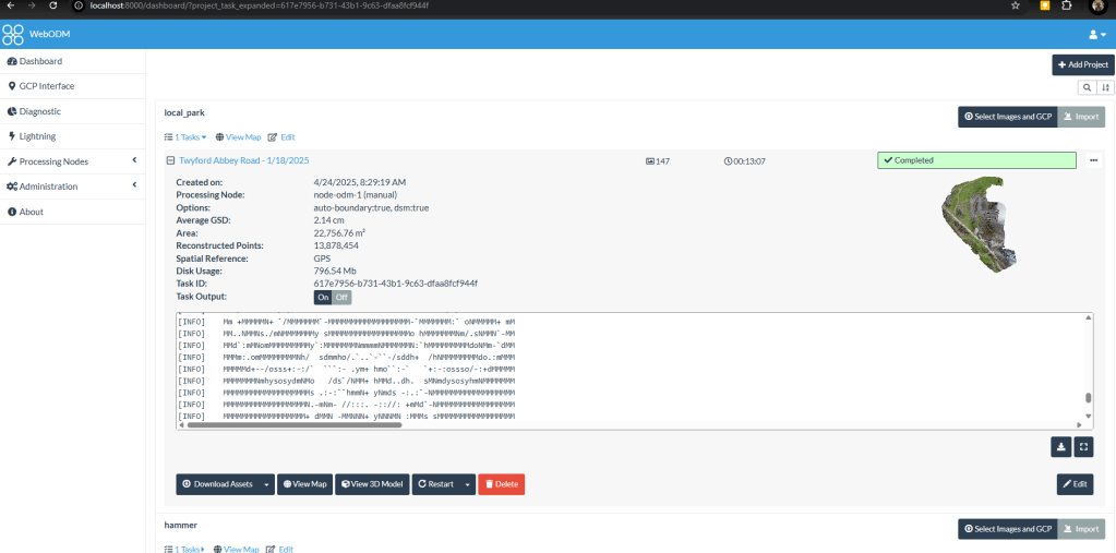
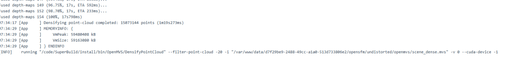

As a learning exercise, I used a DJI Mavic Mini to survey my local park, then processed the resultant images into an orthographic map using WebODM via Docker and WSL2.

You must be logged in to post a comment.