Drone mapping and photogrammetry
Aerial survey exercises using a DJI Mavic Mini and WebODM to create orthographic maps and point-cloud data.
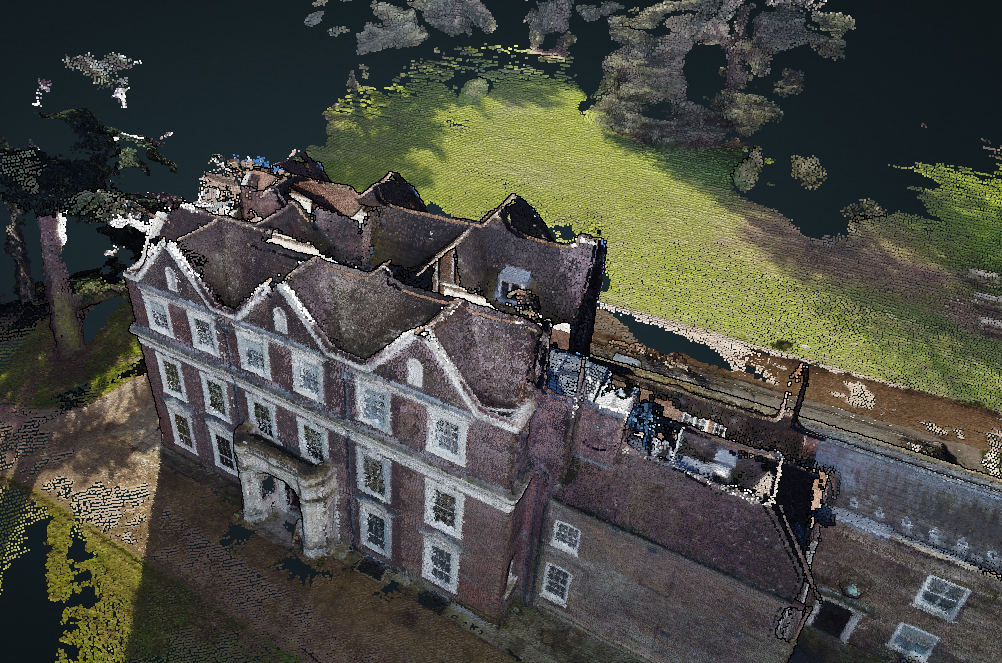
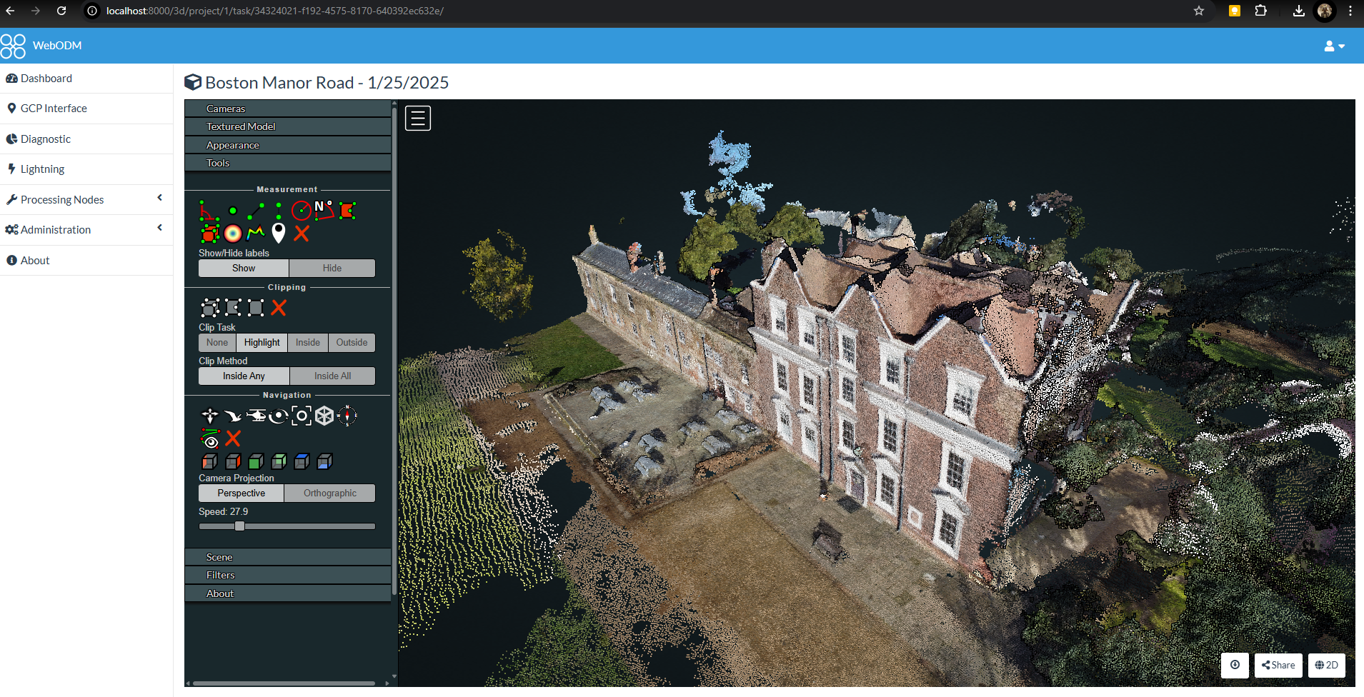
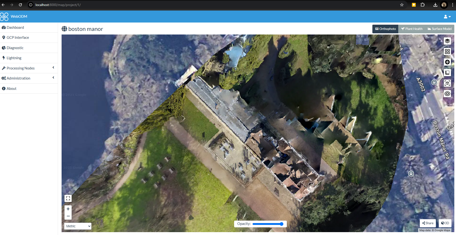
Boston Manor
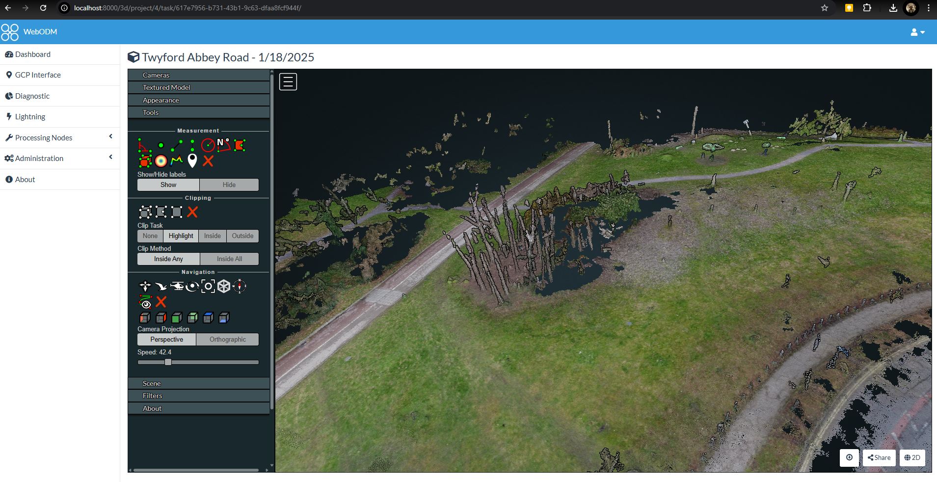
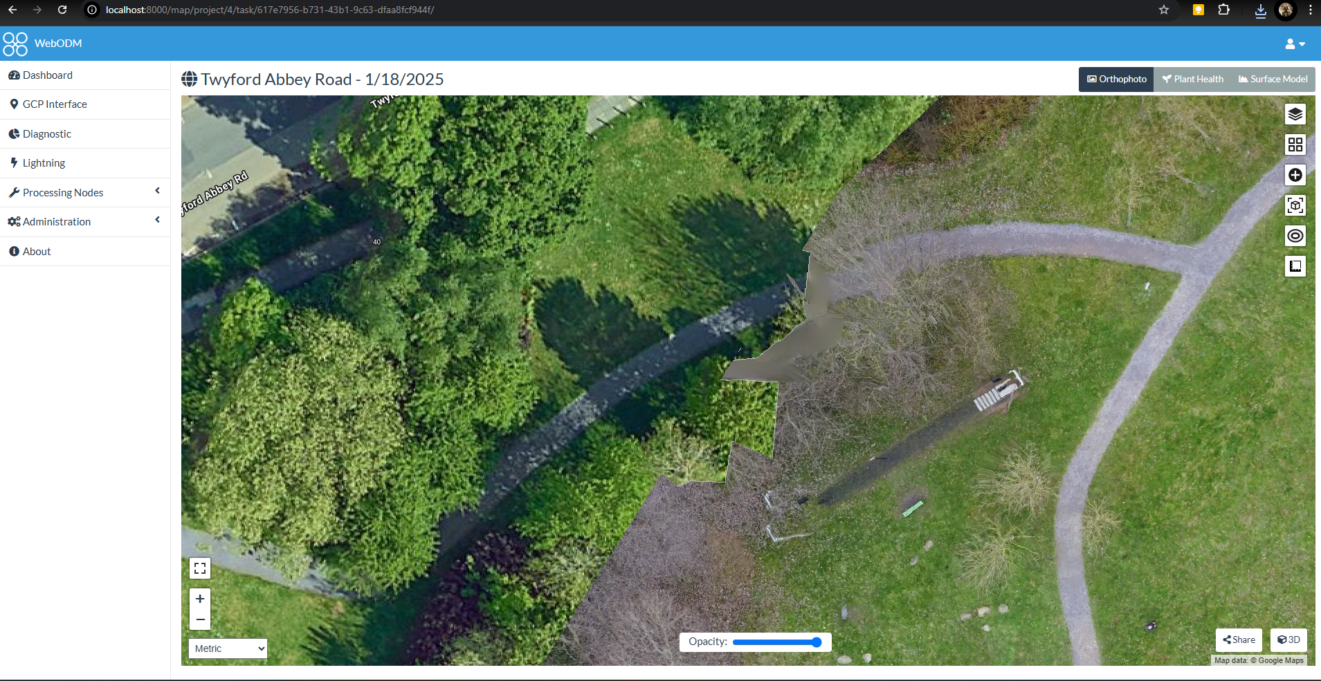
As a learning exercise, I captured overlapping aerial images of Boston Manor with a DJI Mavic Mini. I processed the image set into an orthographic map and rendered point-cloud data using WebODM.
From images to spatial data
WebODM ran through Docker and WSL2 for the original studies. The useful lesson was the whole workflow: collecting field imagery, processing it and turning it into map and point-cloud information that can be inspected spatially.
Local park
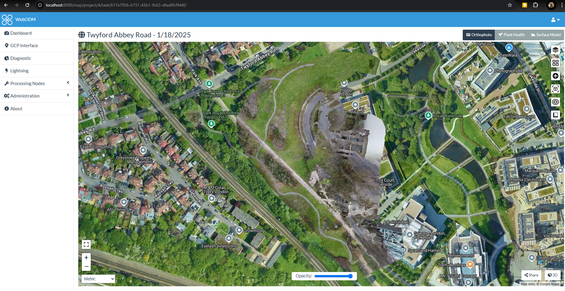
A second exercise used the same capture-and-processing workflow over a local park. It provided another opportunity to work through image coverage, processing and the production of an orthographic map.
Certified Drone Pilot
I hold the A2 Certificate of Competency and General VLOS Certificate drone qualifications.